
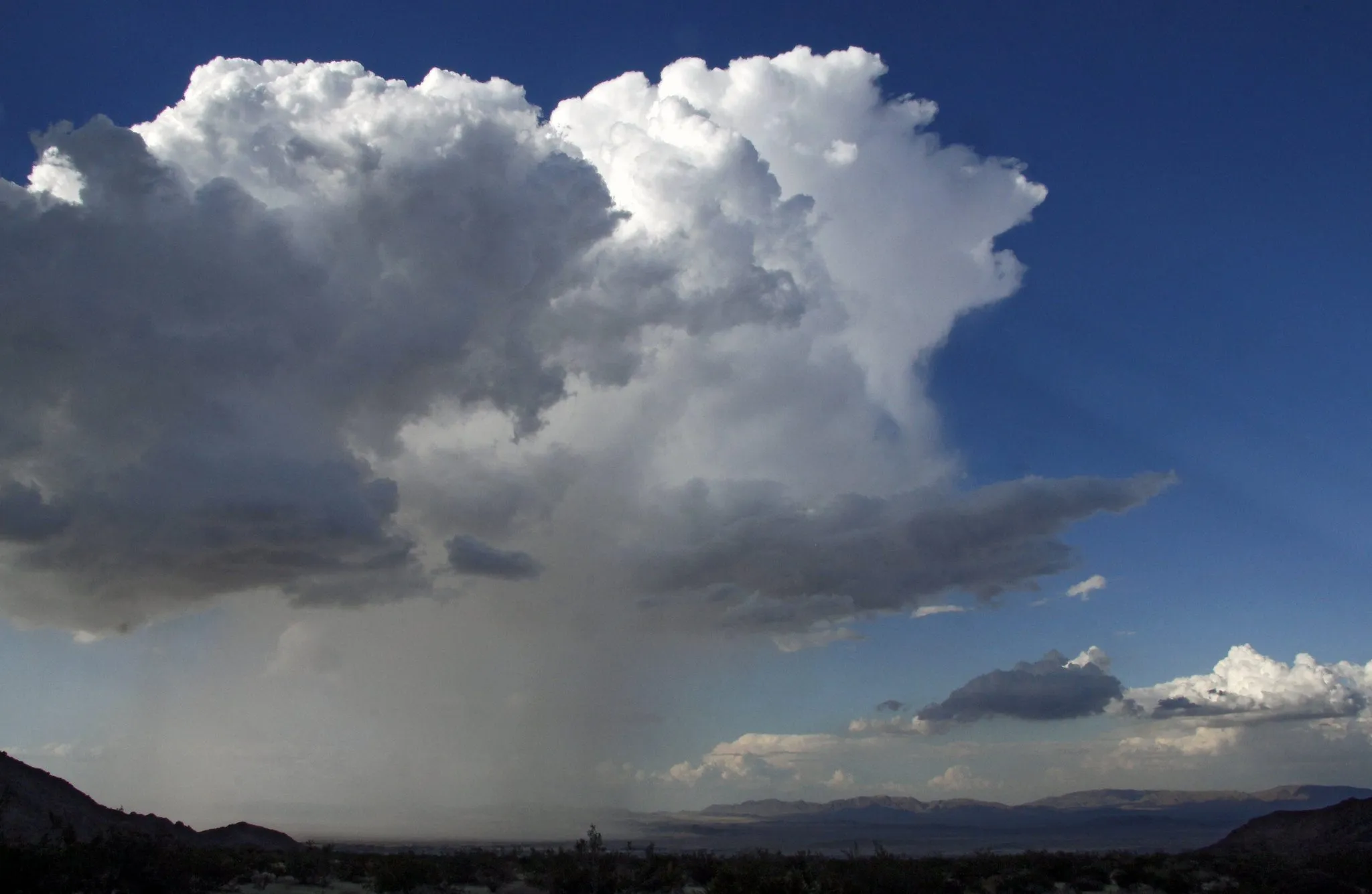
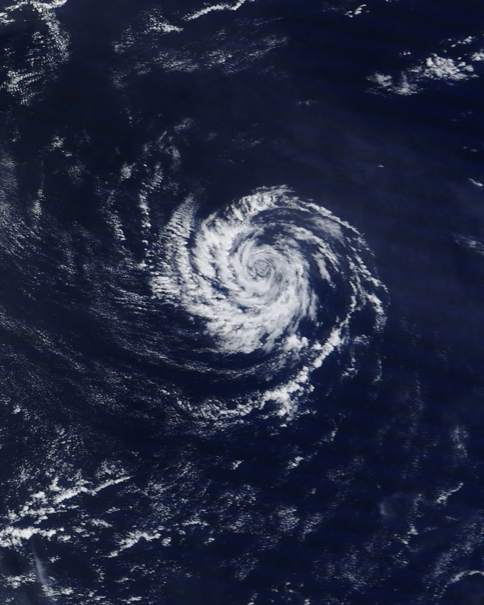
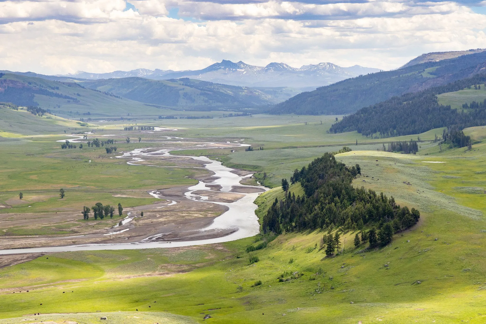
Hydrology & water resources
Rainfall–runoff modelling, frequency analysis, design floods and water balance studies.
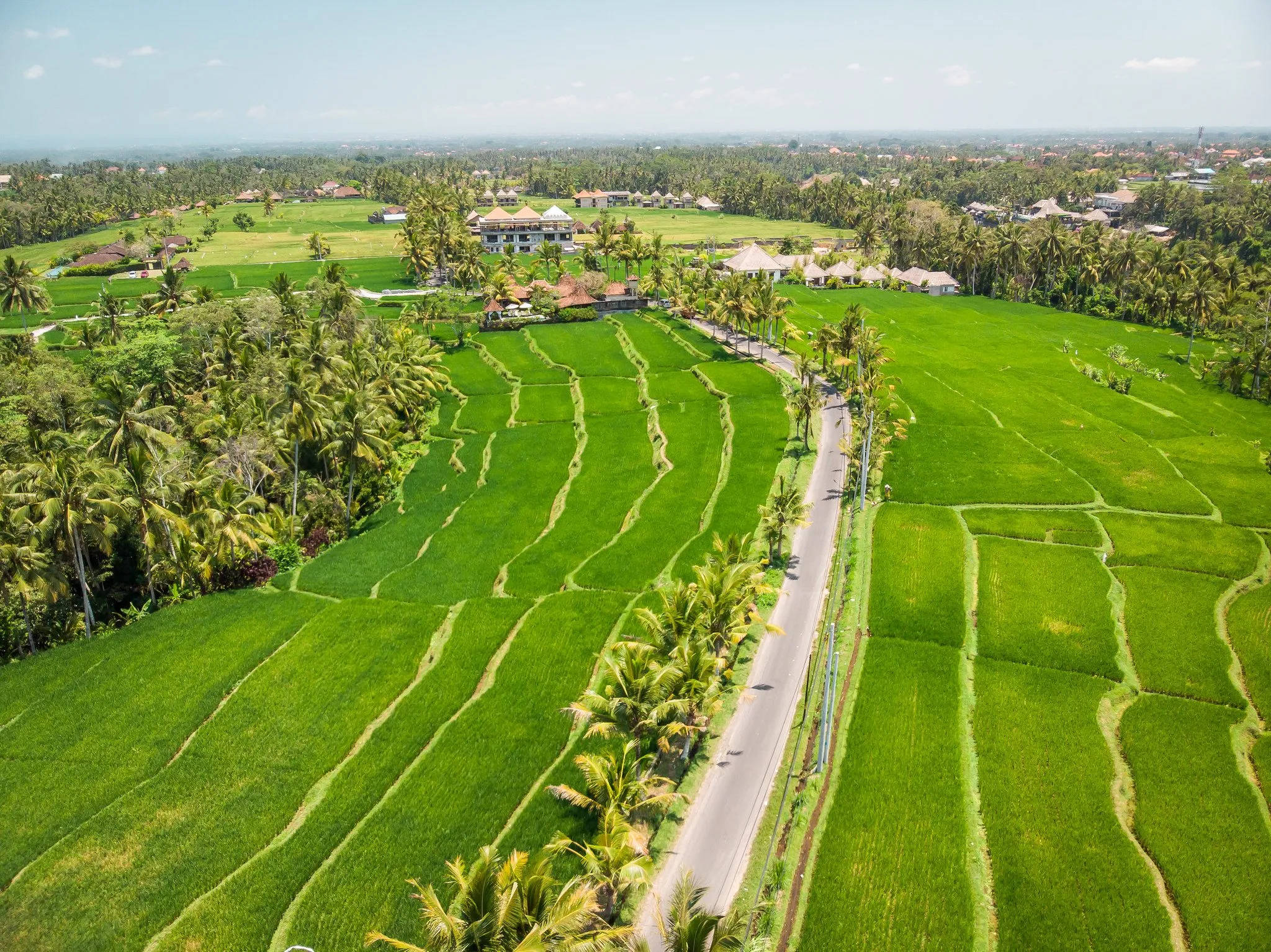
Water that feeds a nation
From irrigation canals to whole river basins, we study how Indonesia shares, stores and protects its water.
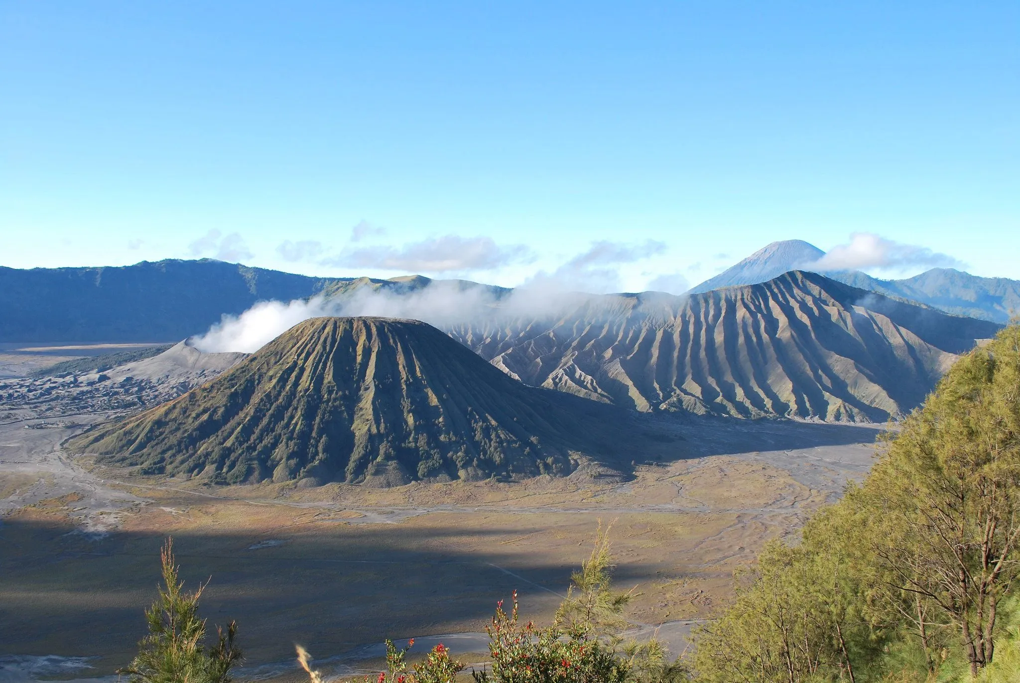
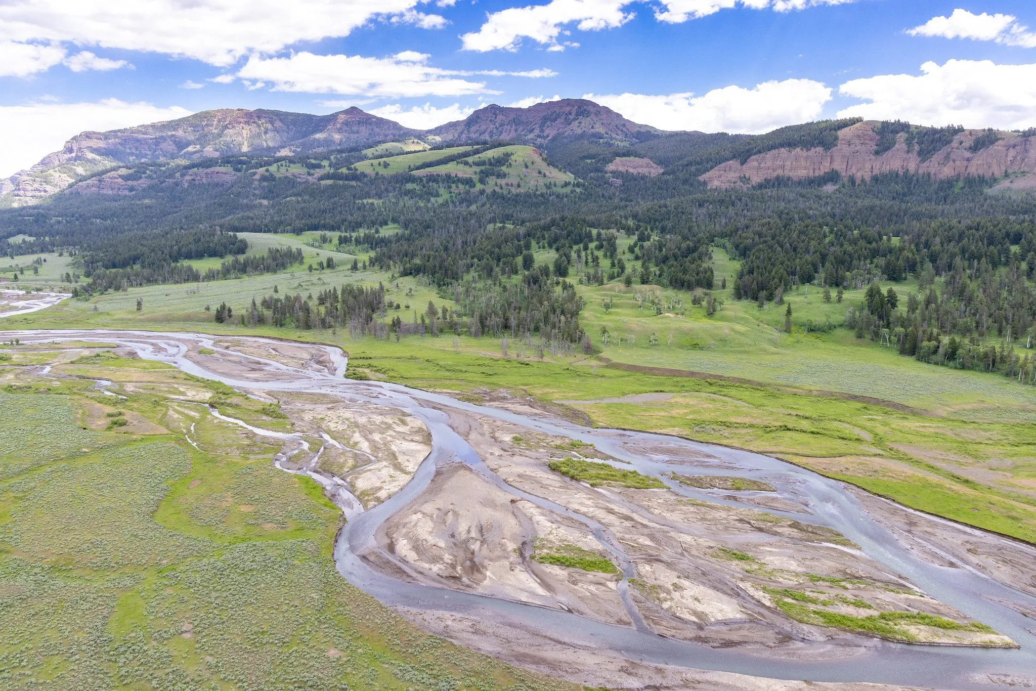
The Hydroinformatics Laboratory is a research group at Universitas Gadjah Mada. We work on the full chain from rainfall to river flow to impact: how much water there is, when it becomes dangerous, and who is affected. Our results go into open datasets, tools and papers that agencies and other researchers can use.
Rainfall–runoff modelling, frequency analysis, design floods and water balance studies.
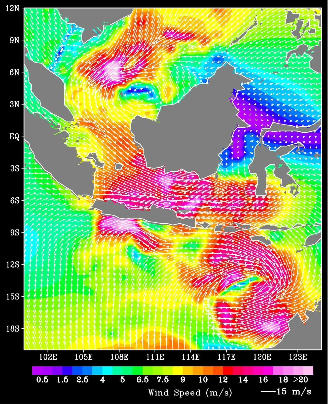
Remote sensing, spatial data processing and machine learning for hydrology.
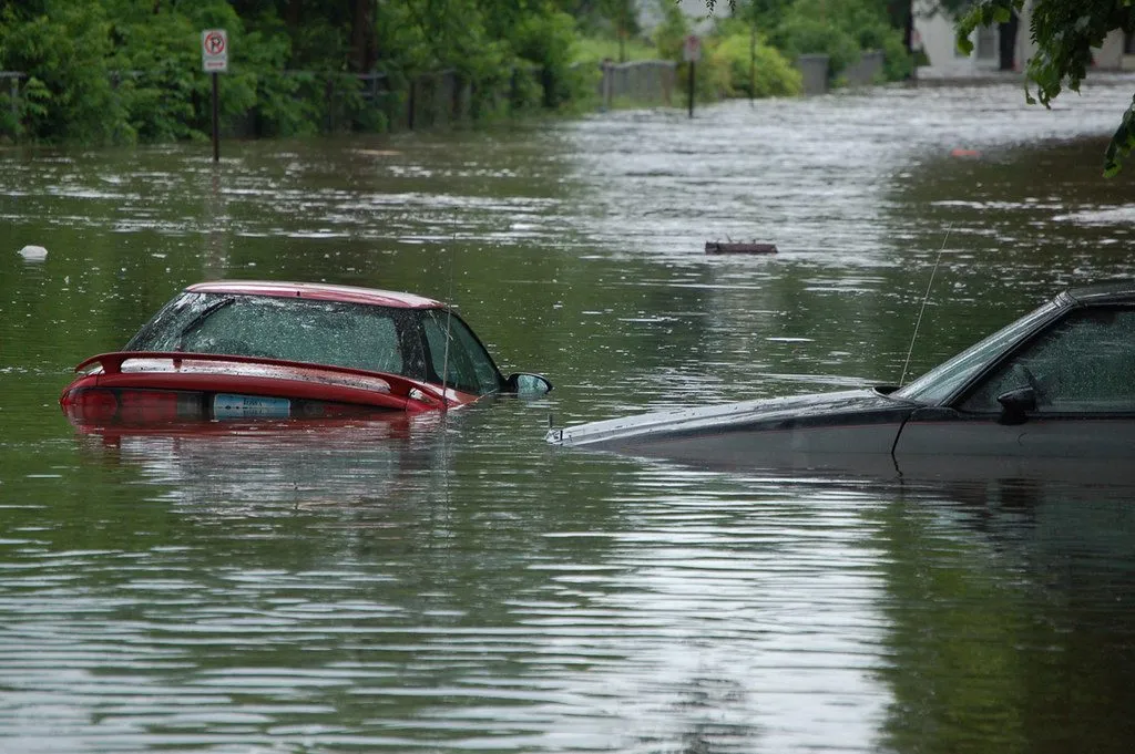
Flood and drought impacts on people and agriculture, from global to local scale.
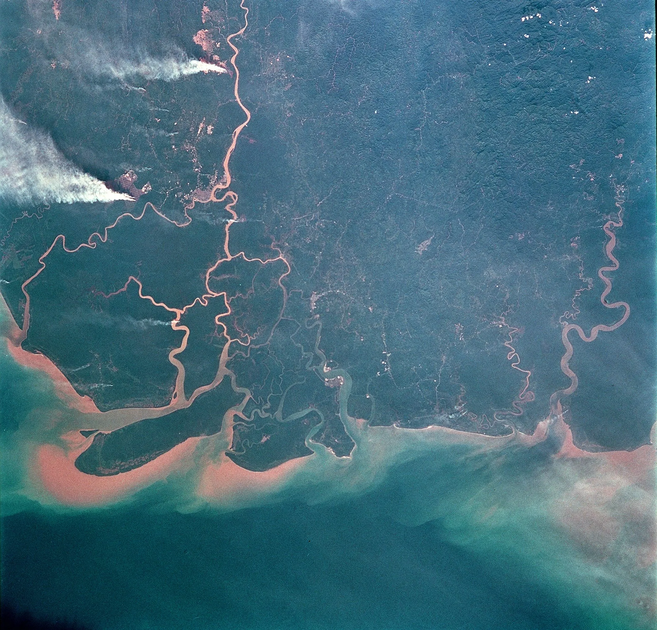
Satellite rainfall products, spatio-temporal analysis and mapping.
 active
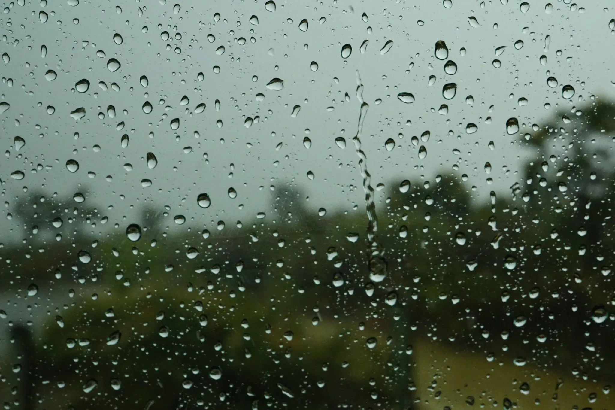
Locating, checking and comparing gauge and satellite rainfall records so that design floods and early warning in Indonesian basins rest on usable data.
 active
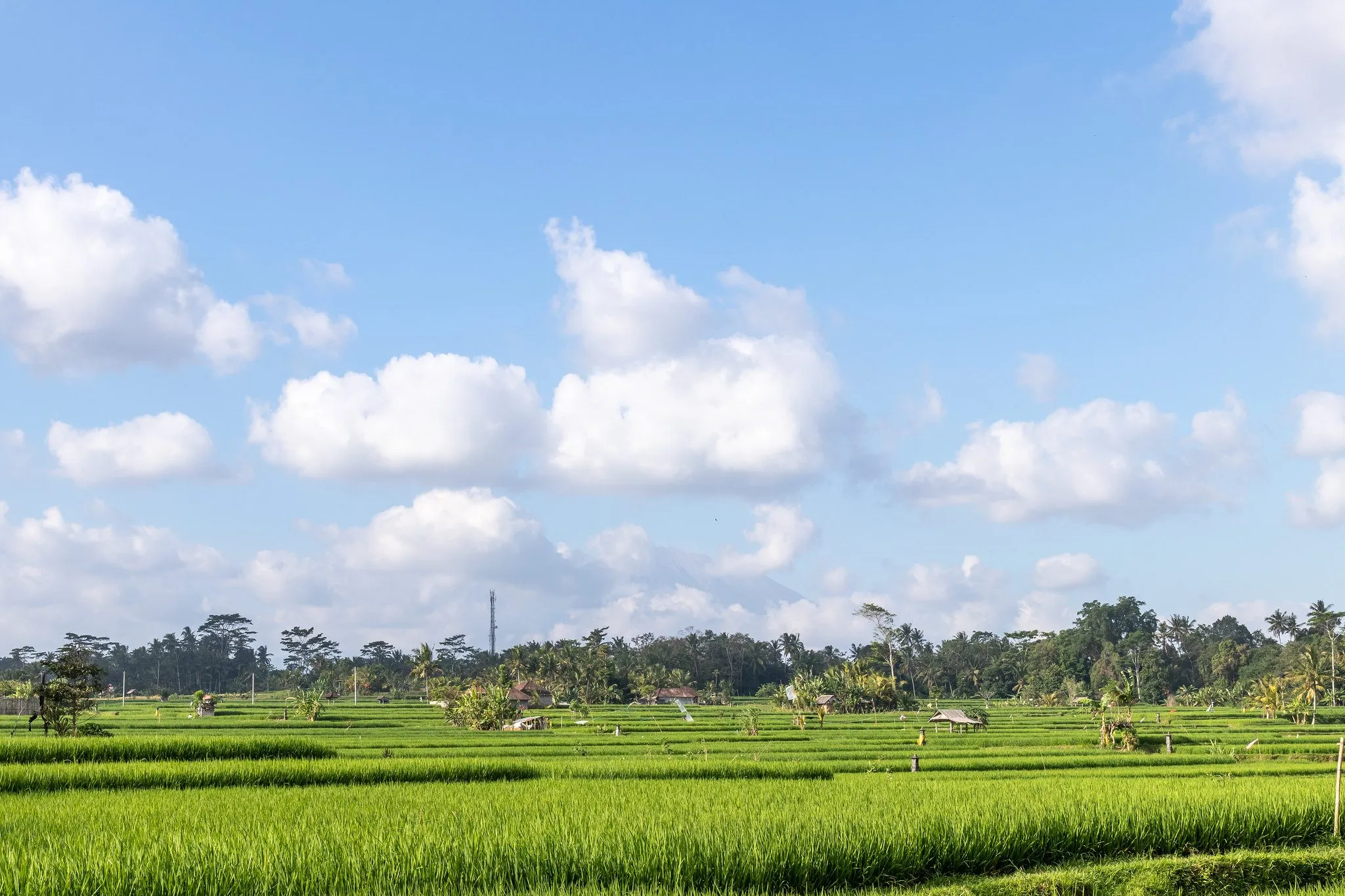
Projected rainfall and temperature extremes over Java, the most populous island of Indonesia, and what they mean for rice-growing regions.
 completed
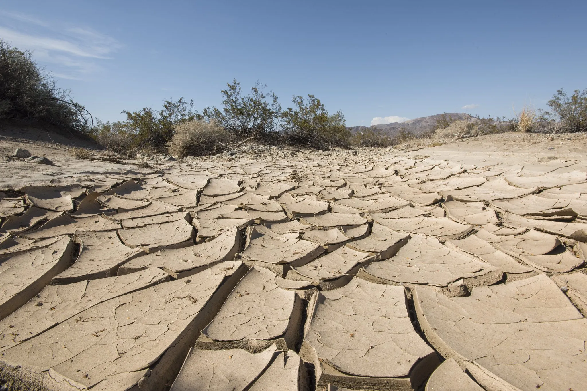
How crop yields respond to drought at different timescales worldwide, and which factors make some regions more sensitive than others.
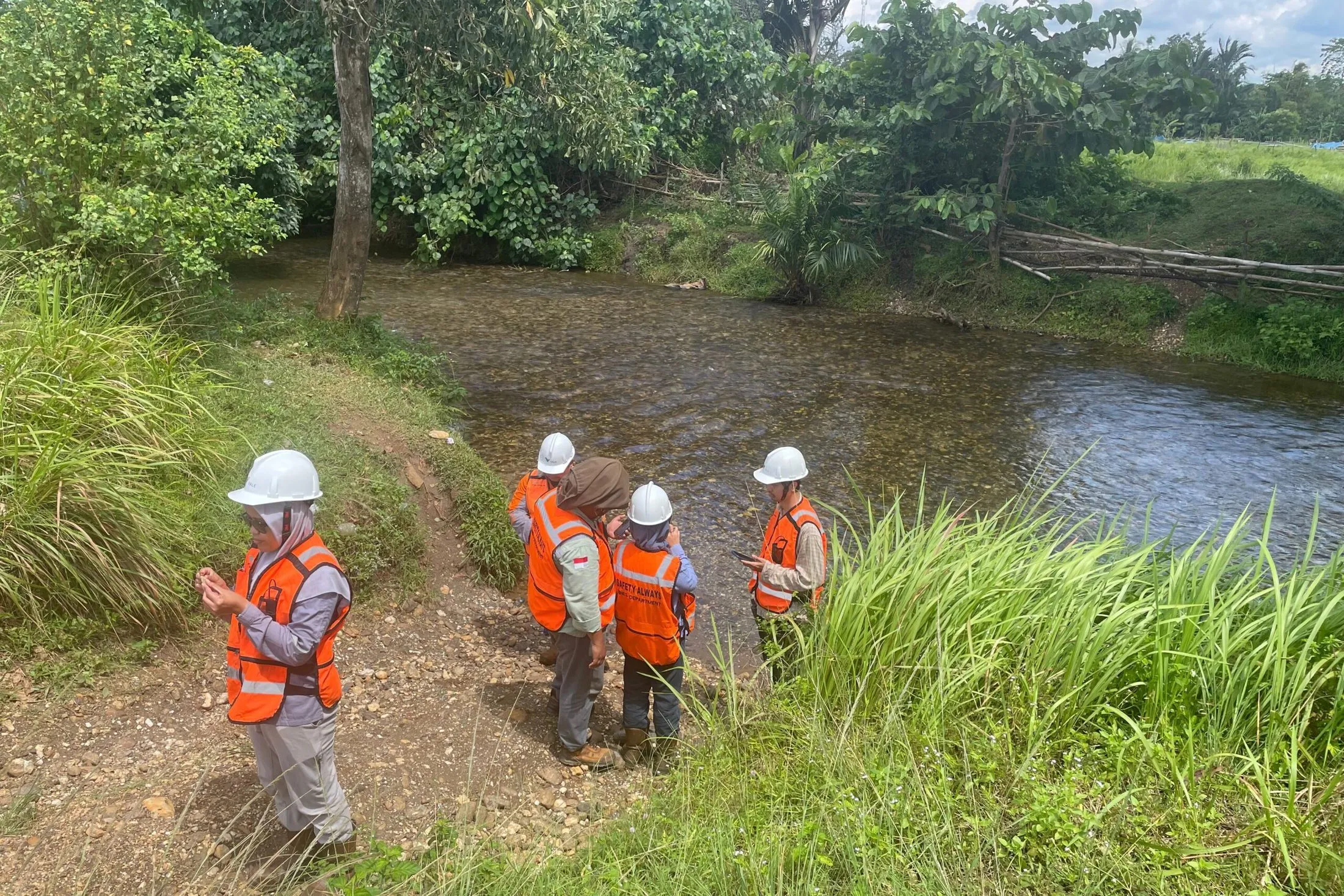
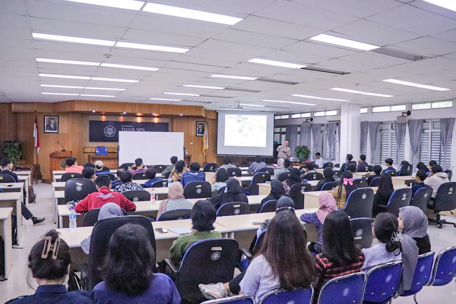
Research is better together. We share field days, code, coffee and the occasional deadline panic, and we look after each other along the way.
Web apps and datasets we build and keep running for Indonesian hydrology.
Map and availability dashboard for daily rainfall, climatological and river-flow stations across Indonesian river basins, with gap reports to plan data requests.
Animated map of 54,000 disaster events recorded by BNPB across Indonesia, 2008–2026, geocoded to the sub-district.
Design-rainfall software suite for IDF–DDF analysis, from downloading gauge data to frequency analysis and design storms; its output feeds the VBasin catchment model.
Early-warning dashboard for cyclone-hit river basins. Hindcast (replay past cyclones), nowcast (recent satellite rain, BMKG warnings) and forecast (global models, ensembles, GloFAS river flow) for 12 basins.
Prosiding Seminar Nasional Teknik Sipil UMS
Research Square
Trees Forests and People
 We are recruiting
Curious about floods, rain or water for food? Bring the question. We will bring the data, the tools and a team that has your back.