 active
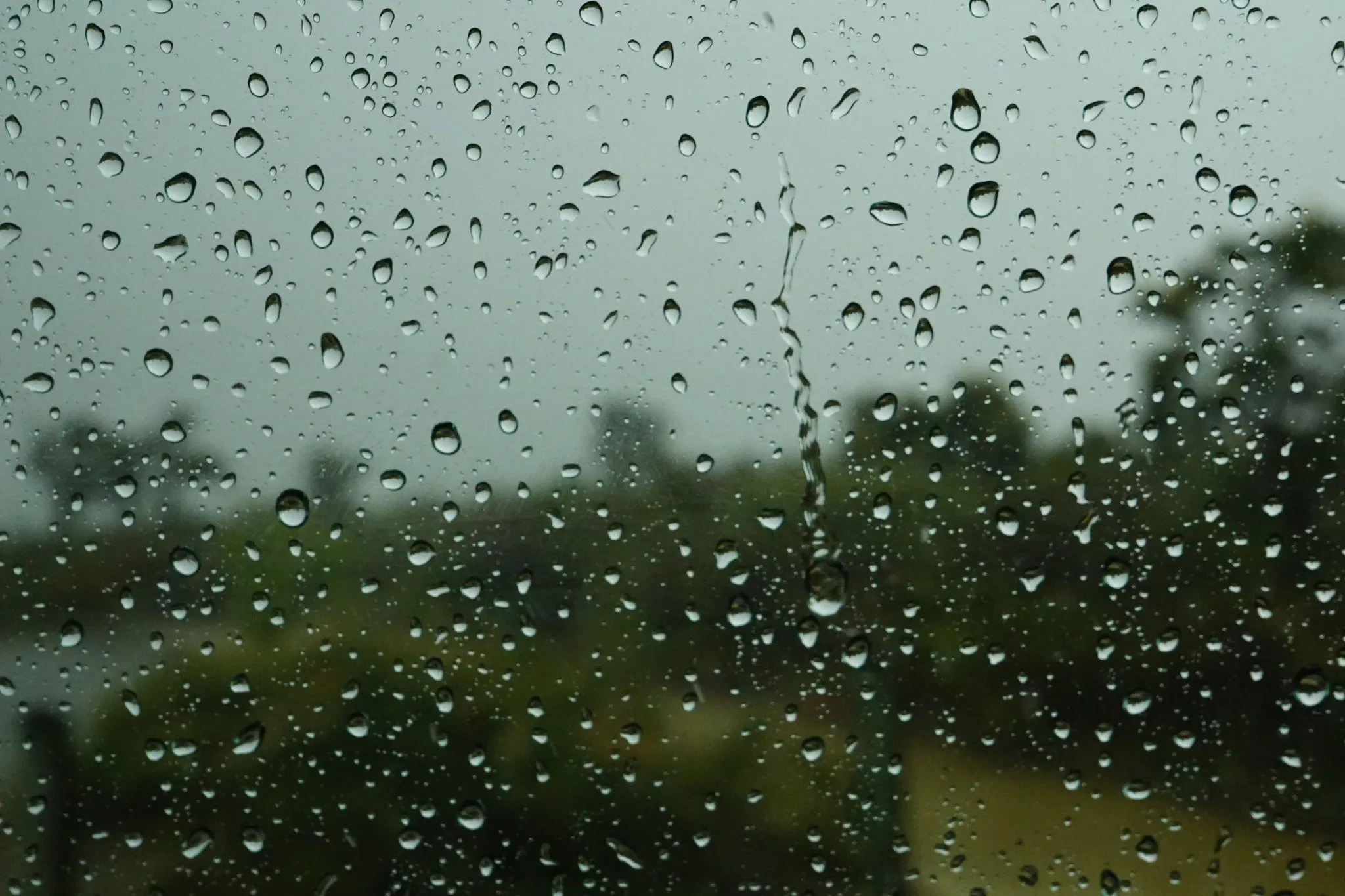
Rainfall records for Indonesian river basins
Collecting, checking and opening up gauge and satellite rainfall records so that design floods and early warning in Indonesian basins rest on usable data.
Read more
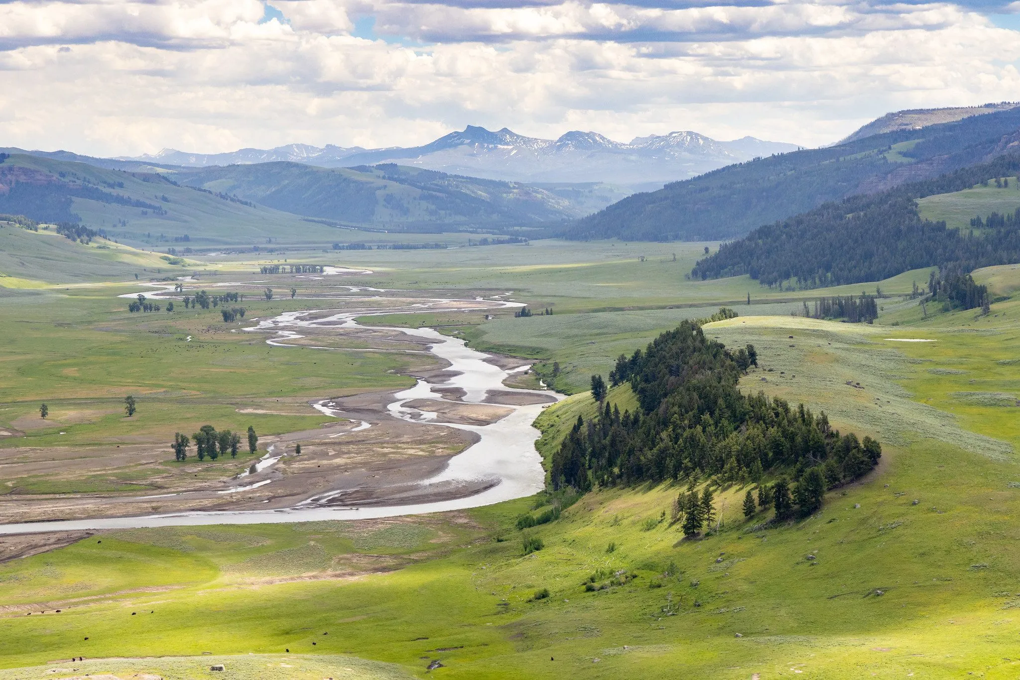
Rainfall–runoff modelling, frequency analysis, design floods and water balance studies.
16 publications & outputs · 2 projects · 3 tools · 0 news
activeCollecting, checking and opening up gauge and satellite rainfall records so that design floods and early warning in Indonesian basins rest on usable data.
 active
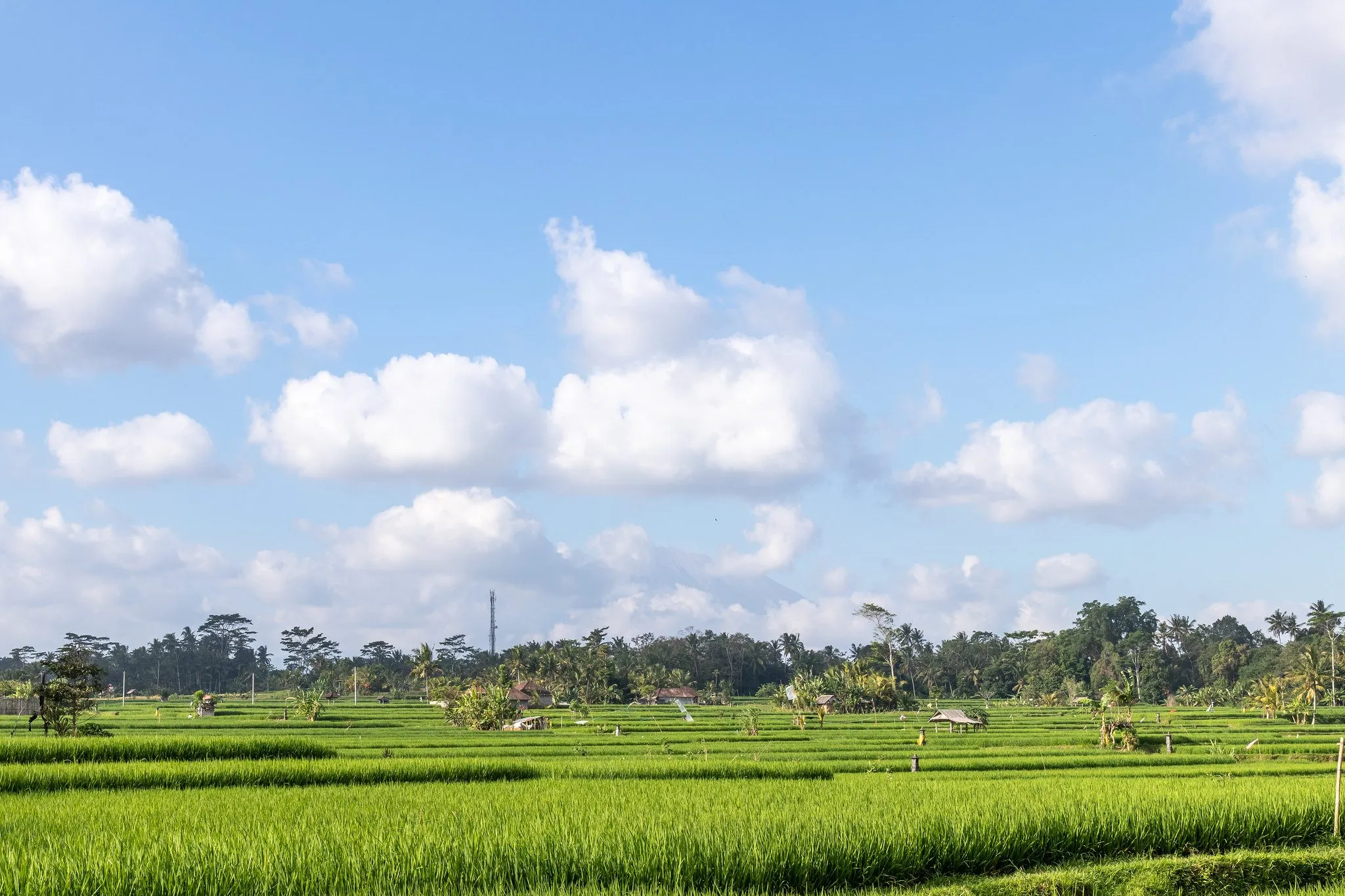
Projected rainfall and temperature extremes over Java, the most populous island of Indonesia, and what they mean for rice-growing regions.
Map and availability dashboard for daily rainfall, climatological and river-flow stations across Indonesian river basins, with gap analysis to plan data requests.
Integrated platform for planning, modelling and monitoring Indonesia's water resources, with data, analysis tools and a knowledge hub.
Design-rainfall toolkit (VRainDownload, VRainPrep, VRainThiessen, VRainStorm, VRainFreq, VRainMaster) for IDF-DDF analysis; its output feeds the VBasin catchment model.
 We are recruiting
Curious about floods, rain or water for food? Bring the question. We will bring the data, the tools and a team that has your back.