
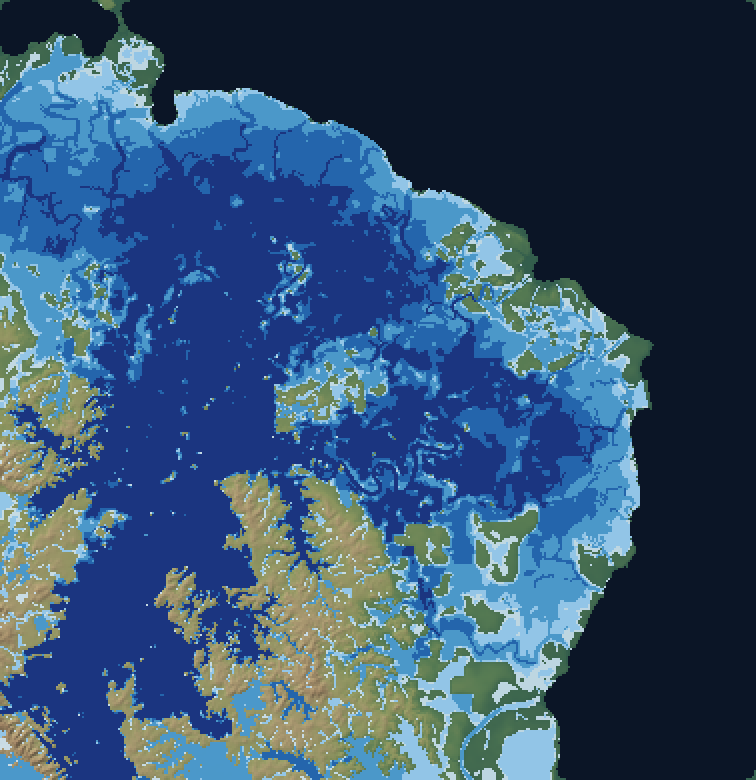
 Interactive map
Cyclone Senyar, November 2025
Krueng Tamiang flood, Cyclone Senyar
Hourly hindcast of the Krueng Tamiang lowland flood, from the rain of Cyclone Senyar to the peak inundation of 27 November 2025, simulated with VFlood at 3-arc-second resolution.
- Place
- Aceh Tamiang, Aceh, Indonesia
- Period
- 18 November 2025 – 5 December 2025
- Peak flooded area
- 605 km²
- Model
- VFlood 1.1 (2D local-inertial, GPU)
Open the map viewer