
Web app
Hujan Harian Indonesia
Map and availability dashboard for daily rainfall, climatological and river-flow stations across Indonesian river basins, with gap reports to plan data requests.
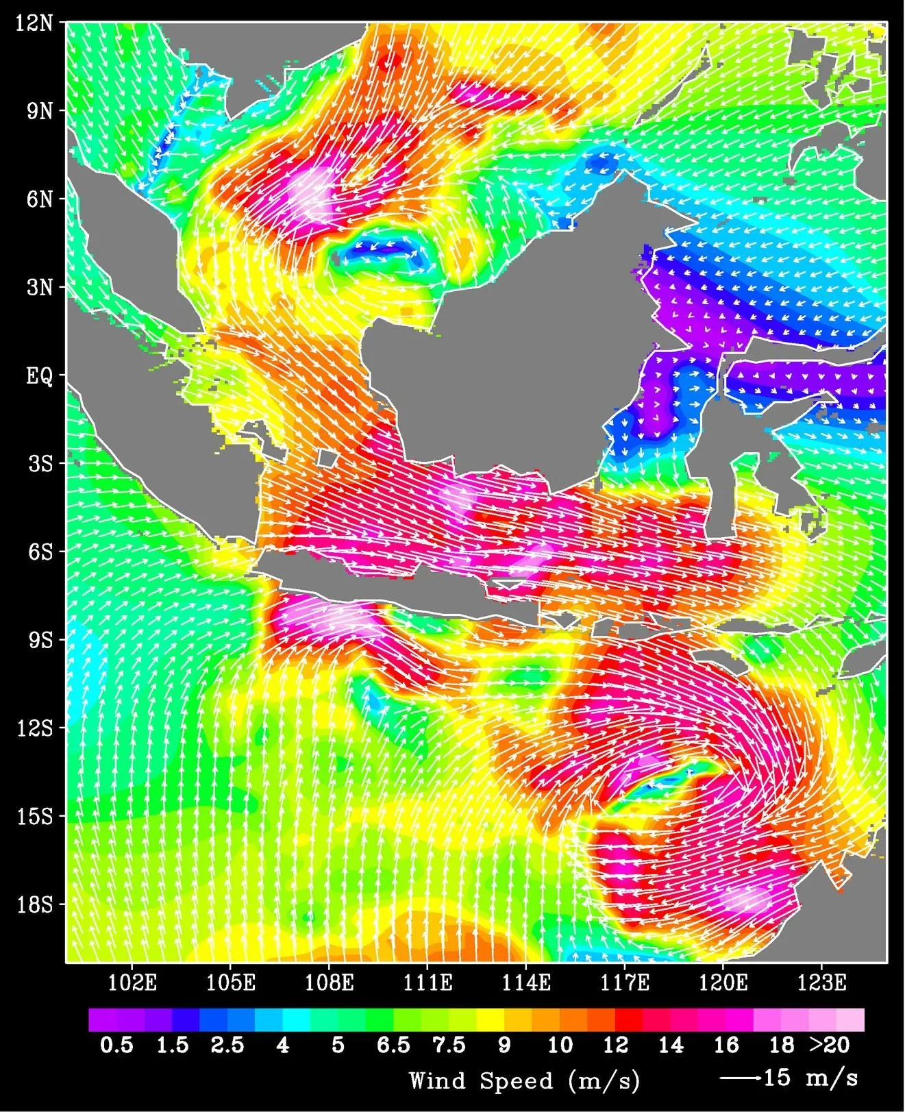
Where rain, river and climate records exist and how complete they are. Station observations stay with the agencies that own them.
Map and availability dashboard for daily rainfall, climatological and river-flow stations across Indonesian river basins, with gap reports to plan data requests.
Animated map of 54,000 disaster events recorded by BNPB across Indonesia, 2008–2026, geocoded to the sub-district.
Machine-readable endpoints for the lab's publications, people, projects, tools and news (JSON, RSS and llms.txt), open to any website or AI agent.
Pipeline stages covered: Data collection, Quality control & archive, Knowledge & teaching